Super Typhoon Sinlaku Approaches Northern Mariana Islands with 173mph Winds
Originally: Dangerous super typhoon barreling toward group of remote US islands
90% Headline Accuracy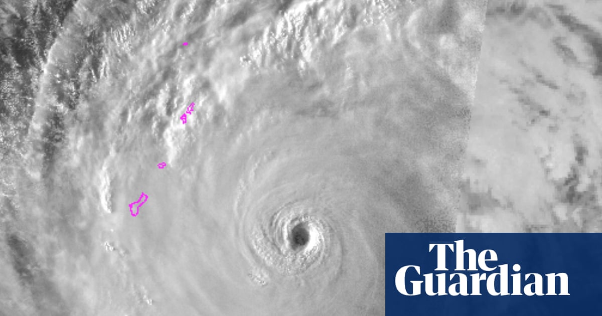
Super Typhoon Sinlaku is approaching the Northern Mariana Islands, expected to make landfall on Tuesday with sustained winds of 173 mph (278 km/h). The National Weather Service has issued warnings for Guam, which may experience damaging winds starting Monday. Sinlaku is classified as the strongest tropical cyclone of the year and is anticipated to weaken slightly but remain a category 4 or 5 typhoon. Donald Trump approved emergency disaster declarations for Guam and the Northern Mariana Islands to facilitate emergency services. The situation underscores the vulnerability of these regions to severe weather events, especially following the impact of Typhoon Mawar in 2023.
Key Takeaways
- • Super Typhoon Sinlaku is producing sustained winds of 173 mph (278 km/h) as it approaches the Northern Mariana Islands.
- • The typhoon is expected to make landfall on Tuesday, classified as a category 4 or 5 storm.
- • Guam is under a tropical storm warning, with damaging winds anticipated to begin Monday.
- • Donald Trump approved emergency disaster declarations for Guam and the Northern Mariana Islands on Saturday.
- • Over 300 super typhoons have been identified since the Joint Typhoon Warning Center began using the term in 1947.
Why This Matters
The impending impact of Super Typhoon Sinlaku highlights the increasing frequency and intensity of tropical cyclones in the Pacific, a trend linked to climate change. The emergency declarations reflect the ongoing vulnerability of US territories to severe weather, especially following recent storms like Typhoon Mawar, which caused significant disruptions in Guam. Preparedness and response measures are critical as these regions face heightened risks from future storms.
This summary was generated by AI from original reporting by The Guardian US. Always verify important details with the original source.